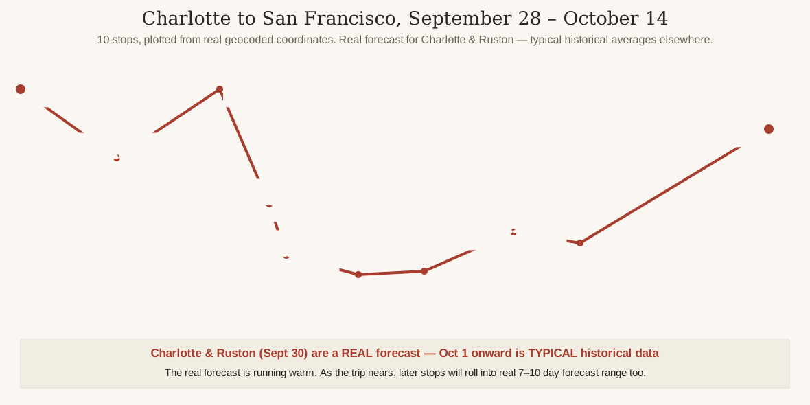
Before Discovery #139’s four routes onward from Las Vegas to Portland, there’s an earlier, separate leg of the same trip: the drive TO Las Vegas, starting in Charlotte, NC — now extended two more stops past Vegas into San Francisco, retracing Discovery #139’s own Route 4 for that final leg. Ten real stops, geocoded and mapped below, September 28 through October 14.
Some of this is a real forecast now — not all of it.
Charlotte’s dates (Sept 28–29), Ruston, LA’s date (Sept 30), Dallas, TX’s dates (Oct 1–2), and Odessa, TX’s date (Oct 3) all now fall inside the National Weather Service’s 7-day forecast window, so those figures are real forecasts, fetched September 27, 2026. Everything from October 4 onward is still outside forecast range and shown as a rounded, sourced historical/climate-normal average for that calendar date, clearly labeled as such below. Worth flagging: the real forecast is running noticeably warm versus typical October averages — Ruston jumped to 95°F and Dallas’s overnight lows are now running 11–17°F above its old typical range — so the remaining “typical” stops (El Paso onward) may end up warmer than shown too — that’s an observation, not a prediction. As the trip gets closer, El Paso onward will roll into real 7–10 day forecast range on its own — no need to wait a week or two, it’s already happened for four of the ten stops.
Charlotte, NC — September 28–29 (Real Forecast)
- Sept 28: high 80°F, low 56°F, sunny
- Sept 29: high 83°F, low 58°F, sunny
- This is a real National Weather Service forecast, not a historical typical — fetched September 27, 2026, well within the 7-day forecast window
- Source: National Weather Service 7-day forecast (forecast.weather.gov), fetched September 27, 2026
Ruston, LA — September 30 (Real Forecast)
- Sept 30: high 95°F, low 69°F, partly sunny and hot with a 20% chance of afternoon showers
- This is a real National Weather Service forecast, not a historical typical — fetched September 27, 2026, well within the 7-day forecast window
- Running 18°F above Ruston’s own October climate-normal average (high 77°F / low 56°F per Weather Spark) — a much more pronounced version of the running-warm pattern already showing up at Charlotte
- This 776-mile drive day from Charlotte passes near or through Atlanta, Birmingham, and the Jackson/Meridian corridor along I-20 without an overnight stop this time
- Source: National Weather Service Shreveport/Monroe forecast office 7-day forecast (forecast.weather.gov), fetched September 27, 2026
Dallas, TX — October 1–2 (Real Forecast)
- Oct 1: high 86°F, low 74°F, showers likely and possibly a thunderstorm (70% chance)
- Oct 2: high 82°F, low 70°F, showers and thunderstorms likely, mostly cloudy (~30–40% chance)
- This is a real National Weather Service forecast, not a historical typical — fetched September 27, 2026, well within the 7-day forecast window
- Running well above the previously shown typical average of 76–78°F/57–59°F — continuing the running-warm pattern seen at Charlotte and Ruston
- Source: National Weather Service Dallas/Fort Worth forecast office (forecast.weather.gov), fetched September 27, 2026
Odessa, TX — October 3 (Real Forecast)
- Oct 3: high 82°F, low 61°F, sunny
- Small, slight chance of early showers, otherwise clear and dry
- This is a real National Weather Service forecast, not a historical typical — fetched September 27, 2026, well within the 7-day forecast window
- High is close to the previously shown typical range, but the low (61°F) is notably warmer than the old typical low of 54–56°F — the warm pattern continues, though Odessa itself is drier and sunnier than the stormy Dallas day before it
- Source: National Weather Service Midland/Odessa forecast office (forecast.weather.gov), fetched September 27, 2026
El Paso, TX — October 4
- Typical high: 76–80°F
- Typical low: 56–59°F
- Typical conditions: dry, sunny, low humidity
- Source: Weather Spark / currentresults.com October averages; NWS El Paso normals
Tucson, AZ — October 5
- Typical high: 88–90°F
- Typical low: 62–64°F
- Typical conditions: still notably warm — the tail end of monsoon season
- Source: Weather Spark October averages
Phoenix, AZ — October 6
- Typical high: 94–97°F
- Typical low: 68–70°F
- October has the steepest early-to-late cooling swing of any month in central Arizona per the NWS, so early October runs well above the ~89°F/66°F monthly average
- Source: NWS Phoenix 1991–2020 normals (weather.gov); AccuWeather
Las Vegas, NV — October 7–12
- Typical high: 83–85°F
- Typical low: 60–62°F
- Typical conditions: dry (around a 4% daily rain chance), sunny
- Source: Weather Spark October averages
Mojave Desert to Bakersfield, CA — October 13 (Overnight Stop)
- Typical high: 81–83°F
- Typical low: 54–57°F
- Typical conditions: dry (around 2 rainy days for the whole month of October), mostly sunny
- The route in from Las Vegas crosses Mojave National Preserve — the same Route 4 leg covered in Discovery #139
- Still well outside the National Weather Service’s 7–10 day forecast window as of today (September 26, 2026) — a historical typical, not a forecast
- Source: NWS Bakersfield October climate normals (weather.gov/hnx/bfl10nrm), Weather Spark
San Francisco, CA — October 14 (Arrival)
- Typical high: 66–68°F
- Typical low: ~55°F
- Typical conditions: dry (about 0.9in of rain for the whole month of October)
- A real, sourced contrast: after roughly a week of desert heat from Odessa through Las Vegas and Bakersfield, San Francisco runs noticeably cooler — the city’s coastal marine layer and fog are a genuine local feature this time of year, not an invented detail
- Also still outside NWS forecast range — a historical typical, not a forecast
- Source: Weather Spark, currentresults.com October averages
What’s Real, What’s Typical, and the One Pattern Worth Watching
Worth being precise about this, because it’s the whole point of the post: Charlotte (Sept 28–29), Ruston, LA (Sept 30), Dallas, TX (Oct 1–2), and Odessa, TX (Oct 3) are all real National Weather Service forecasts, fetched September 27, 2026. Everything from October 4 onward — El Paso, Tucson, Phoenix, Las Vegas, Bakersfield, and San Francisco — is still outside the forecast window and shown as a rounded historical/climate-normal typical for that calendar date, sourced from NWS/NOAA normals where available and the named aggregator sites elsewhere.
One honest observation, not a prediction: the real forecast is running warm, and it’s only gotten more pronounced with fresher data. Ruston, LA jumped to 95°F on Sept 30, a full 18°F above its own October climate-normal average of 77°F/56°F. Dallas is now confirmed running well above its previously shown typical of 76–78°F/57–59°F, with real highs of 82–86°F and lows of 70–74°F, and even dry, sunny Odessa is posting a low (61°F) notably warmer than its old typical range. If that pattern holds, the “typical” numbers for El Paso onward may end up running warmer than shown too. That’s flagged as a possibility here, not baked into the numbers above.
The one real pattern that does show up cleanly in the climate-normal data itself: from Dallas onward through Odessa, El Paso, Tucson, Phoenix, and into Las Vegas, the route dries out to essentially desert conditions through that whole desert stretch — a genuine, sourced pattern in the historical averages, not an invented detail to make the route sound tidier than it is. That’s the typical pattern for this time of year, though; this week’s real forecast has Dallas running wetter and stormier than that dry baseline would suggest (see above), with Odessa the first stop where the actual forecast lines back up with the desert-dry pattern.
That desert stretch doesn’t last the entire trip, though. After roughly a week of desert heat — Odessa through El Paso, Tucson, Phoenix, and Las Vegas all sitting in the 80s and 90s — the drive into Bakersfield and San Francisco brings a real, sourced cool-down. Bakersfield’s typical highs stay in the low 80s, still desert-dry, but San Francisco’s typical highs drop into the upper 60s, driven by the city’s genuine coastal marine layer. That’s a real contrast in the climate-normal numbers themselves, not exaggerated for effect.
No need to wait a week or two for a live-forecast regeneration anymore — it’s already partially happening. Charlotte, Ruston, Dallas, and Odessa are done with real forecast data. As the trip gets closer, El Paso and the stops beyond it will roll into the National Weather Service’s 7–10 day forecast window on their own; just ask and this post can be rebuilt with live data for whichever stops are still showing as typical.