I was today days old when I learned one private collector in San Francisco spent 46 years buying historical maps — ended up with more than 200,000 of them — scanned 148,808 of those at 300 to 800 pixels per inch (with individual map files approaching 5 gigabytes), built a free in-browser zoom viewer for the whole collection, then in 2009 donated the physical 150,000-map collection to Stanford and won a Webby Award for the digital one. It’s the David Rumsey Map Collection, and it’s the largest privately-built historical map archive on the internet.
Who:
David Rumsey made his fortune in real estate before focusing on maps. He started collecting in 1980, initially focused on 18th- and 19th-century maps of North and South America, then expanded to maps of the world, antique atlases, wall maps, globes, maritime charts, schoolroom maps, and basically anything cartographic that crossed his desk. The collection currently sits at 200,000-plus items.
What he built:
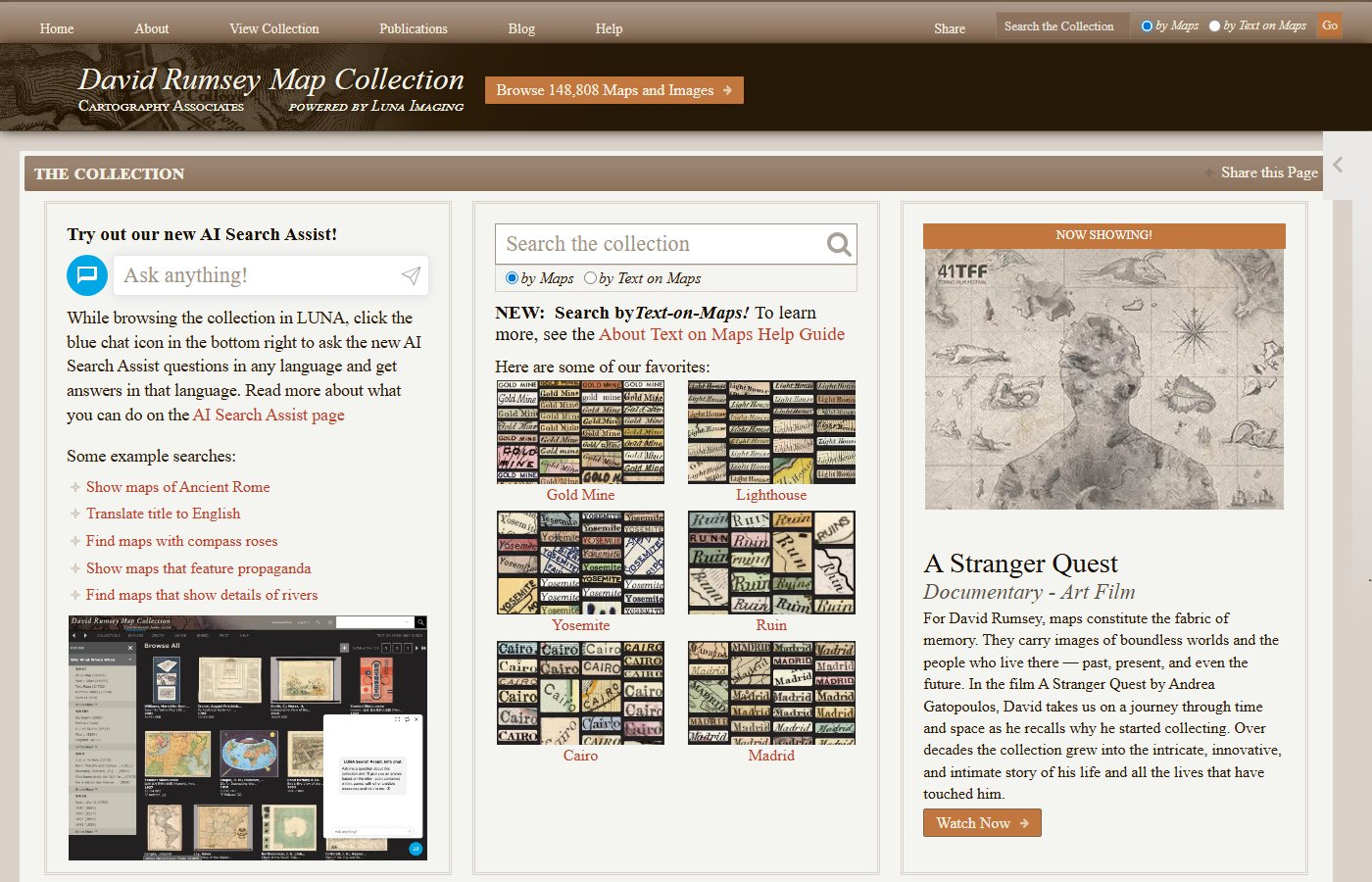
Rumsey started digitizing the collection in 1996 — the early days of the public web. The scanning standard he set is the load-bearing part of the story: 300 to 800 pixels per inch, which is several times sharper than a typical museum digitization, and individual high-resolution files approach 5 GB. (A reproduction-grade scan of a wall-sized 19th-century map can be larger than an entire HD movie.) The browser viewer, powered by Luna Imaging’s LUNA software, lets anyone with a web browser zoom continuously from a thumbnail of the full map down to the brush strokes on a single building or the typesetting on a single place-name. Everything is free, no login, no paywall, no ads. There are currently 148,808 maps available online; the rest are still being digitized.
Features the viewer has that most archives don’t:
- Side-by-side comparison — pull up two maps from different decades and scroll them together to see how a city or coastline was drawn over time.
- Interactive Globes — a separate viewer for the historical globes in the collection, rotatable in 3D in the browser.
- Georeferencer v4 — the crowdsourcing part. Volunteers can pin a historical map’s landmarks to modern latitude/longitude, registering it to a real geographic coordinate system. Once registered, the historical map can be overlaid on Google Earth and Google Maps. Anyone can contribute.
- Apple Vision Pro “Globes” app — the historical globes, in mixed reality, on the headset.
- AR Globe app — the same for AR on phones.
The donation:
In 2009, Rumsey donated 150,000 physical maps to Stanford University. In 2016, Stanford opened the David Rumsey Map Center inside the Green Library — a public-access reading room and interactive map-wall space, where visitors can pull originals from the collection and look at them on a giant high-res digital display next to the originals. The arrangement is unusual: the maps are at Stanford, but the digital archive lives independently at davidrumsey.com and stays freely accessible to everyone.
How to use it (do this once):
- Go to davidrumsey.com.
- Pick a city you love and search its name plus a century: “San Francisco 1850”, “London 1750”, “Raleigh 1880”, whatever.
- Open the highest-resolution match in the LUNA viewer. Zoom all the way in.
- Now do it again with a map from a different century of the same place.
Twenty minutes are gone. You’ve learned that your neighborhood used to be a swamp, or a tobacco field, or didn’t exist, or had a different street grid before some urban-renewal project erased it. This is what it’s for.
Awards and recognition:
The digital collection has won a Webby Award for Technical Achievement and the Special Libraries Association Honors Award. It is — with no real competition — the deepest free historical map archive on the internet.